
Anthony Licciardello | May 26, 2026
Long Beach Island
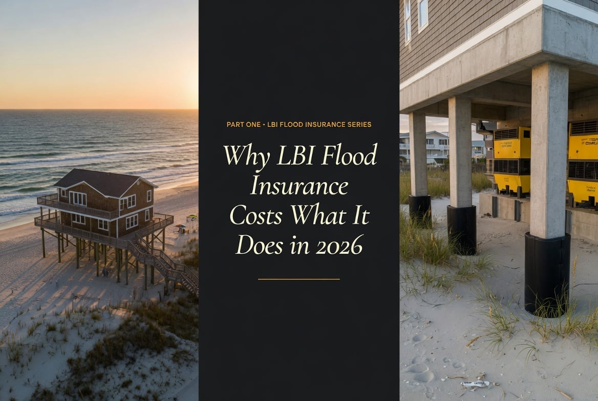
The same Long Beach Island street can produce a $1,200 premium and a $4,700 premium. The variable driving the four-figure gap isn't the neighborhood — it's the algorithm.
Long Beach Island flood insurance is no longer priced by neighborhood. Since FEMA implemented Risk Rating 2.0, two homes ten feet apart can carry premiums that differ by four figures. The 2026 reality: typical elevated LBI homes run $1,200–$1,500 annually, oceanfront V-Zone properties run $4,700 or more, and the variable explaining most of the gap isn't where the house sits — it's how it was built, how high it stands, and what the algorithm decides it would cost to replace.
The shock typically arrives at closing. A buyer who has budgeted carefully for a Long Beach Island purchase — taxes, association dues if applicable, the mortgage itself — opens the flood insurance quote and sees a number that wasn't in the spreadsheet. Sometimes it's $1,300 a year, which absorbs cleanly into the monthly carrying cost. Sometimes it's $4,800, and the deal has to be re-modeled in the parking lot before closing day.
The variance isn't random, and it isn't punitive. It's the product of an algorithm that evaluates each house individually — and once you understand how the algorithm thinks, the LBI insurance market becomes navigable instead of intimidating. This article is the opening installment of a six-part series for buyers, sellers, and owners across Long Beach Township, Beach Haven, Ship Bottom, Surf City, Harvey Cedars, Loveladies, and Barnegat Light. We're starting where every conversation has to start: with the actual cost.
New Jersey's statewide average flood insurance premium hovers between $1,011 and $1,137 annually. That number reflects the entire state — bayside homes in inland communities, raised properties along the Raritan, even homes a mile from any meaningful body of water that happen to sit inside an outdated flood zone designation. It is not the number that applies to LBI.
On Long Beach Island specifically, a typical elevated home — the kind built or rebuilt to modern coastal standards on pilings, with the first finished floor sitting well above the Base Flood Elevation — averages between $1,200 and $1,500 per year. That's a modest premium over the state average, and it's the figure most prepared buyers should anchor to when budgeting an LBI purchase that was built to current code.
But LBI is a barrier island, and barrier islands generate outliers in both directions. The two categories that dominate the conversation:
If you're researching coastal premiums beyond LBI, the same volatility applies across the Jersey Shore. The mechanics we walk through in our Manasquan flood, taxes, and insurance breakdown apply almost directly here — flood insurance, property taxes, and homeowners coverage routinely combine into a meaningful share of monthly carrying cost at any shore address. The pricing logic is identical; the topography just differs.
For LBI-specific flood zone designations, the authoritative reference is the FEMA Map Service Center, which publishes current Flood Insurance Rate Maps (FIRMs) for every parcel on the island. The NJ DEP Bureau of Flood Engineering publishes complementary state-level mapping and elevation data.
Walk down almost any street in Long Beach Township or Harvey Cedars and you'll see it: a 1960s ranch sitting at grade next to a 2018 build hoisted twelve feet in the air on concrete pilings. To a passing observer, they share the same flood zone, the same proximity to water, the same storm exposure. To FEMA's algorithm, they are entirely different risk profiles — and the difference is reflected in their respective premiums.
This is the single most important conceptual shift buyers need to internalize when looking at LBI. Under the old system — the legacy zone-based pricing that ran until 2021 — your flood premium was largely determined by what color polygon your parcel fell inside on a FEMA map. Two homes in the same V-Zone polygon paid similar premiums regardless of how they were built.
Under Risk Rating 2.0, the polygon is just the starting point. The algorithm then layers in the physical characteristics of your specific structure: how high the first floor sits, what the foundation is made of, whether there are engineered flood vents in the lower enclosure, how much it would cost to rebuild the home if it were destroyed. The result is that the elevated 2018 home next door pays a fraction of what the at-grade 1960s ranch pays, even though they sit on the same block.
This is also why generic "What does flood insurance cost on LBI?" answers found in Google search results are almost always misleading. The honest answer is: it depends on the specific house. The premium for the listing you're touring on Saturday cannot be reliably estimated from the premium on the listing you toured last weekend, even if they're three doors apart.
Part Two of this series will go deep on the methodology. For now, the short version: Risk Rating 2.0 evaluates three categories for every property the National Flood Insurance Program covers.
The "Where" covers location-based factors — proximity to the Atlantic Ocean, Barnegat Bay, or local inlets; the elevation of the parcel itself relative to surrounding terrain; and the broader hydrology of the area. This is roughly analogous to the old zone-based system, but evaluated at a finer geographic resolution.
The "How" covers building characteristics — first-floor height relative to Base Flood Elevation, foundation type (slab vs crawlspace vs pilings), wall construction (wood frame vs masonry), and whether engineered flood vents are installed in any enclosed space below the flood level. This is the category that produces the same-block paradox.
The "What" covers replacement cost — how much it would actually cost to rebuild your specific structure. A $2.4M oceanfront rebuild in Loveladies generates a higher premium than a $650K cottage in Beach Haven Crest, even at identical elevation, because the algorithm is weighing the magnitude of the potential claim.
If you want the official version, FEMA publishes the full Risk Rating 2.0 methodology with the variables and weightings disclosed at a high level. Part Two of this series translates that methodology into LBI-specific examples.
To put numbers on the framework, here are three composite LBI scenarios drawn from typical 2026 quotes. None are specific real properties; all reflect the kind of premium range a buyer should reasonably expect based on the structural variables described above.
| Property Profile | Structural Detail | Approx Annual Premium |
|---|---|---|
| Oceanfront, pre-1980s build V-Zone, large footprint |
Concrete slab foundation, no flood vents, mechanicals at ground level | $4,700+ |
| Bayside elevated ranch A-Zone, mid-island |
Pilings at 3 ft of freeboard above BFE, smart flood vents in lower enclosure | $1,200–$1,400 |
| Post-Sandy rebuild A-Zone, modern construction |
Pilings at 4+ ft freeboard, smart vents, M&E on elevated platform, masonry walls | $850–$1,100 |
Composite illustrative scenarios. Actual premiums vary by carrier, replacement cost value, deductible selection, and individual structural certification. Always pull a binding quote on the specific property before relying on any estimate.
Always pull a flood quote before signing the contract. Not after. Not during attorney review. Before. The premium can move a deal from comfortable to marginal in a single line item, and the time to discover that is before earnest money is committed.
Don't trust the seller's premium as a comp. Existing NFIP policies are technically assignable to the new owner, which can be valuable when the seller has a grandfathered legacy rate. But the math may shift at renewal as the policy fully transitions into current Risk Rating 2.0 pricing. Treat the seller's current premium as a data point, not a guarantee.
Get an Elevation Certificate even when NFIP doesn't require one. Under Risk Rating 2.0, FEMA no longer mandates an EC for most policies — they pull elevation data from federal mapping databases. But that data can be wrong, and a $400–$600 elevation certificate from a licensed surveyor can produce a five-figure lifetime premium savings if it shows your home is higher than FEMA's automated data assumed.
Shop NFIP against the private market. Private flood carriers entered the LBI market aggressively in the last several years and frequently offer lower premiums than the NFIP on homes with strong structural profiles. They can also decline to quote, so it's not always an option — but it's always worth asking your broker to run both.
If you're cross-shopping LBI against other Jersey Shore submarkets, the same buyer-side discipline applies further up the coast. The broker reads we've published on Monmouth Beach's post-Sandy rebuild market and Long Branch's 2026 disclosure-rule reset cover the same mechanics — including New Jersey's Flood Risk Disclosure Law, which now requires sellers to disclose known flood risks and prior flood damage in writing. Wherever you shop on the Jersey shore, get the quote before you sign.
On the sell side, flood insurance has quietly become one of the most underused competitive tools on LBI. Most listings are presented with the property's tax bill but not the property's flood premium — leaving prospective buyers to imagine the worst until they pull their own quote post-contract. That information vacuum kills deals.
Lead with the premium when it's favorable. If your home sits on pilings, has a current Elevation Certificate, and runs $950 a year on the NFIP, that number belongs in the listing copy and on the property's first-page marketing collateral. It will neutralize the "but isn't flood insurance brutal on LBI?" question before a buyer ever asks it.
Use the transferable policy when applicable. If you carry an NFIP policy with favorable grandfathered terms, that policy is assignable to the buyer at closing. For the buyer, the value isn't theoretical — it's a meaningfully lower premium for as long as the assigned policy runs. Surfacing this in the listing remarks signals a real, quantifiable transferable benefit.
Document your mitigation. If you've installed engineered flood vents, raised your mechanicals onto a platform, added freeboard during a renovation, or completed any work that lowers your risk profile under Risk Rating 2.0 — keep the paperwork. The closing buyer's insurer will want it, and it directly affects their premium.
Part Four of this series details which structural retrofits produce the largest premium reductions, and which ones may already qualify your home for a meaningful discount.
Long Beach Island is a market where the listing photo and the carrying cost frequently disagree. A property can look like a deal at $1.4M and carry a $4,800 annual flood premium that pushes the all-in monthly cost past comparable mainland alternatives. The reverse is also true: a property listed slightly above comp can carry an $850 premium that quietly outperforms its competition on monthly carry.
The way The Prodigy Team underwrites LBI properties — for buyers we represent and listings we take — is to model the flood premium as a first-class line item alongside taxes and mortgage payment. We pull elevation data, foundation type, mitigation evidence, and replacement cost into a single picture before any offer is constructed. The goal is to remove flood insurance from the category of "scary surprise at closing" and put it in the category of "known input to the underwriting decision."
If you're buying or selling on LBI in 2026 and you want a clear picture of where your specific property sits in the Risk Rating 2.0 algorithm before you commit, that's the audit we run.
If your home sits in a designated Special Flood Hazard Area (which covers the vast majority of LBI parcels) and you carry a federally backed mortgage, your lender will require flood insurance as a condition of the loan. Cash buyers are not legally required to carry flood coverage, but going without it on a barrier island is a financial decision that warrants serious thought.
No. Standard homeowners policies explicitly exclude flood damage, defined as rising surface water. Flood coverage is a separate policy issued either through the National Flood Insurance Program (NFIP) or a private flood carrier. Wind damage from a named storm is typically covered by your homeowners policy; water damage from storm surge is not.
V-Zones are coastal high-hazard areas subject to wave velocity — meaning breaking waves of three feet or more are expected during a base flood event. These are typically the oceanfront blocks. A-Zones are still designated Special Flood Hazard Areas but are not subject to breaking-wave action; these include bayside properties and interior parcels. V-Zones carry materially higher premiums and stricter construction requirements than A-Zones.
Yes. You can move from NFIP to a private flood carrier at any time, and most owners receive a pro-rated refund of unused NFIP premium when they do. The reverse — moving from private back to NFIP — also remains available, though carriers may apply waiting periods. The most important consideration when switching is to confirm continuous coverage with no lapse during the transition.
Possibly, at least initially. NFIP policies are assignable to the buyer at closing, which can preserve grandfathered legacy pricing for a period. However, under Risk Rating 2.0 the policy will continue to migrate toward the current rated premium over successive renewals. Treat an assigned policy as a near-term benefit rather than a permanent guarantee, and budget for renewal-year increases.

Anthony Licciardello is the founding broker of The Prodigy Team, an independent brokerage serving Staten Island and the New Jersey shore. He works with buyers and sellers across Long Beach Island, Monmouth County, Ocean County, and Union County markets.
Prodigy Real Estate is an innovative real estate company offering high-end video production, home valuation services, purchasing, and home sales. Serving New York and New Jersey.