
Anthony Licciardello | May 26, 2026
Long Beach Island, NJ
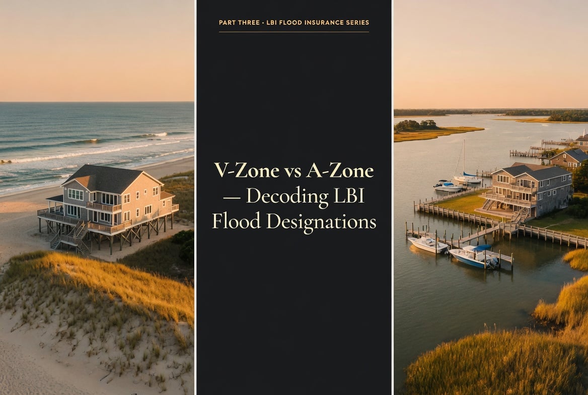
The single letter on your Flood Insurance Rate Map can move a premium by four figures, the construction code by a foot of elevation, and the resale conversation by an entire category of buyer.
FEMA categorizes LBI parcels into three meaningful flood designations: V-Zone (subject to breaking waves of three feet or more), A-Zone (high-risk but inland or bayside, no breaking-wave exposure), and the often-overlooked Coastal A Zone bounded by the Limit of Moderate Wave Action — where waves are between 1.5 and 3 feet during a base flood event. Each designation carries different premium math, different construction code requirements, and different resale implications. Knowing which zone a property sits in, and whether that designation can be challenged, is the difference between a confident offer and a closing-day surprise.
The difference between a V-Zone designation and an A-Zone designation is technical, hydrological, and — once you understand what it actually measures — surprisingly intuitive. FEMA's flood zone system is fundamentally a wave physics classification. The agency models what would happen during a "base flood event" (the storm with a 1% probability of occurring in any given year, often called the 100-year flood) and asks a single question: how big are the waves where this parcel sits?
The answer drives almost everything else. Premium math, construction code, mortgage requirements, even the buyer pool you'll see when it comes time to resell. This article walks through the three designations that actually matter on LBI, maps them to the island's six municipalities and major sections, and explains the often-overlooked middle category — the Coastal A Zone — that can quietly produce thousands in annual premium swings if mis-identified. It also covers the formal process for challenging a designation when FEMA's map and your property's actual elevation disagree.
FEMA publishes Flood Insurance Rate Maps (FIRMs) that overlay every U.S. parcel with a flood zone designation. Each zone carries a letter code that compresses two pieces of information: the statistical likelihood of flooding and the type of flood expected. On LBI, the designations that matter are:
V and VE Zones: Coastal high-hazard areas with breaking waves of three feet or more during a base flood event. "VE" indicates that FEMA has determined a specific Base Flood Elevation (BFE) for the zone; an unmarked "V" zone exists but is increasingly rare on modern maps. Both carry the same construction code and premium implications.
A and AE Zones: High-risk flood areas inside the Special Flood Hazard Area (SFHA), but without breaking-wave action. "AE" indicates a specified BFE; "A" zones may not have a published elevation. Most LBI A-zone parcels are AE.
Coastal A Zone (CAZ): A subset of the AE Zone where waves during a base flood event are between 1.5 and 3 feet — significant enough to require V-Zone-style construction practices, but not severe enough to be designated full V-Zone. The boundary of this area is called the Limit of Moderate Wave Action, or LiMWA.
X Zone (shaded and unshaded): Outside the Special Flood Hazard Area. Shaded X indicates moderate risk (the 500-year floodplain); unshaded X indicates minimal mapped risk. Federally backed mortgages on X-zone properties do not require flood insurance, though carrying it is often still advisable in coastal areas.
The authoritative source for any specific parcel's current zone designation is the FEMA Map Service Center, which lets you search by address and pull the official Flood Insurance Rate Map panel. State-level mapping with complementary elevation data is published by the NJ DEP Bureau of Flood Engineering.
On LBI, V-Zone almost always means oceanfront. The designation applies to the parcels closest to the Atlantic, where FEMA's coastal storm models predict breaking waves of three feet or more during a base flood event. These are the homes that take the full brunt of storm surge during a named system — the front line of the island's exposure to the Atlantic.
V-Zone designation carries the most stringent construction and insurance implications of any flood zone:
Premium impact. V-Zone NFIP premiums on LBI typically begin at $4,700 annually and scale up sharply with replacement cost value. Oceanfront builds above $1.5M RCV routinely carry NFIP-plus-private-excess flood premiums totaling five figures per year. The premium math we walked through in Part Two of this series applies — but with the "Where" pillar maxed out at the most exposed possible setting.
Construction code. Homes in V-Zones must be elevated on open foundations — pilings, piers, or columns — with the lowest horizontal structural member of the first floor at or above Base Flood Elevation. No solid foundation walls are permitted below BFE that would obstruct the passage of waves and surge. Breakaway walls are allowed beneath the structure for parking, storage, or building access, but they must be engineered to fail under hydrodynamic load without compromising the home above.
Resale dynamics. V-Zone properties trade in a narrower buyer pool than A-Zone properties. Cash buyers and high-equity purchasers tolerate the premium load; financed buyers see the all-in monthly cost and frequently walk. This is a marketing reality that should be modeled into the listing strategy from day one — not discovered during the second price reduction.
On the upside: V-Zone oceanfront homes that are properly elevated to modern code on pilings, with freeboard above BFE and engineered breakaway walls, can still produce competitive premium math relative to the structure's RCV. The premium is not arbitrary — it's a direct readout of how the property scores against the Risk Rating 2.0 inputs covered in Part Two.
A-Zone (almost always AE on current LBI maps) covers the parcels inside the Special Flood Hazard Area that are not subject to breaking-wave action. On LBI, that means the bayside blocks fronting Barnegat Bay, the interior parcels of the island between the ocean and bay sides, and many of the lagoon-front properties in the various Long Beach Township sections.
A-Zone status still carries meaningful flood risk — these properties are inside the 100-year floodplain, and flood insurance is required for any federally backed mortgage. But the absence of breaking-wave exposure produces materially different premium math and construction requirements compared to V-Zone:
Premium impact. A-Zone NFIP premiums on LBI typically run $1,200–$1,400 annually for modern elevated builds with strong "How" pillar profiles, and can drop into the $850–$1,100 range for the strongest combinations of elevation, foundation type, and M&E placement. These are the numbers most prepared LBI buyers should anchor to during their initial budgeting work.
Construction code. A-Zone construction requirements are less restrictive than V-Zone. Solid foundation walls are permitted below BFE, provided the enclosed space is non-habitable and properly vented with engineered flood vents. Slab-on-grade construction is still discouraged but not categorically prohibited. Elevation requirements are tied to BFE with most municipalities requiring 1–2 feet of freeboard above.
Resale dynamics. A-Zone properties trade in a broader buyer pool than V-Zone properties. Financed buyers can underwrite the carrying cost more easily, and the premium becomes one of several line items in the budget rather than the line item that dominates everything else. For sellers, this typically translates into faster days-on-market at correctly priced numbers and less compression at the negotiation table.
Between the unambiguous V-Zone of true oceanfront and the relatively benign A-Zone of bayside parcels, there is a third LBI category most buyers and sellers don't know exists by name: the Coastal A Zone.
Mechanically, the Coastal A Zone is the portion of the AE Zone where waves during a base flood event are between 1.5 and 3 feet — not severe enough to trigger V-Zone designation, but significant enough that FEMA recommends V-Zone-style construction practices. The boundary between the Coastal A Zone and the rest of the AE Zone is drawn on Flood Insurance Rate Maps as the Limit of Moderate Wave Action, abbreviated LiMWA. Detail on the methodology is published in FEMA's coastal zone framework.
On LBI, the Coastal A Zone typically covers the second tier of blocks back from the ocean — properties that are not technically oceanfront but sit close enough that wave action during a major storm event is meaningful. Streets one and two blocks west of the dune line in Beach Haven, Surf City, and the various Long Beach Township sections are frequently mapped this way.
The premium and construction implications sit between V and A:
Premium impact. Coastal A Zone NFIP premiums are calculated under the AE Zone rating tables, so the headline premium is closer to A-Zone than V-Zone math. However, many private flood carriers and some New Jersey municipalities apply V-Zone-equivalent construction requirements in the Coastal A Zone, which can compound into the rating worksheet in ways that aren't always intuitive. Always pull a binding quote — don't assume Coastal A pricing matches generic A-Zone pricing.
Construction code. Many LBI municipalities have adopted local ordinances requiring V-Zone-style construction (open foundations, no solid walls below BFE) for new construction or substantial improvement in the Coastal A Zone. If you're considering a renovation on a Coastal A parcel that crosses the substantial improvement threshold (typically 50% of pre-improvement value), you may trigger a requirement to rebuild to V-Zone code even though the FIRM designation is AE.
For LBI buyers, the practical takeaway is simple: if you're looking at a property within one or two blocks of the ocean, ask the listing agent or seller's attorney for confirmation of whether the parcel sits inside or outside the LiMWA line. The answer affects construction options, future renovation budgets, and — if local code triggers V-style requirements — your effective premium math.
LBI is composed of six incorporated municipalities, with Long Beach Township including the named sections of Loveladies, North Beach, Brant Beach, Brighton Beach, Beach Haven Terrace, Spray Beach, Holgate, and several others. At a high level, the zone distribution follows a consistent pattern across all six towns: V-Zone for oceanfront, Coastal A for the immediate back-blocks, A/AE for the bulk of interior and bayside parcels, with X-Zone pockets where elevation lifts a parcel above the floodplain.
| Municipality / Section | Typical Zone Profile | Notes |
|---|---|---|
| Barnegat Light North tip |
VE oceanfront · CAZ back-blocks · AE interior/bayside | Lighthouse and inlet exposure adds modeling complexity at the north end |
| Harvey Cedars North-central |
VE oceanfront · CAZ back-blocks · AE interior/bayside | Narrow island width makes back-block CAZ exposure more common |
| Surf City Central |
VE oceanfront · CAZ back-blocks · AE interior/bayside | Commercial corridor on Long Beach Blvd sits primarily in AE |
| Ship Bottom Causeway gateway |
VE oceanfront · CAZ back-blocks · AE interior/bayside | Causeway-adjacent parcels carry heavier bayside flood exposure |
| Long Beach Twp Loveladies, Brant Beach, others |
VE oceanfront · CAZ back-blocks · AE interior/bayside · lagoon AE | Lagoon-front properties carry distinct bayside flood profiles |
| Beach Haven South-central |
VE oceanfront · CAZ back-blocks · AE interior/bayside | Historic district parcels often have older construction with weaker "How" scores |
Generalized zone profiles. Individual parcel designations vary based on specific location, elevation, and the most recent FIRM revision. Always confirm zone status for a specific address via the FEMA Map Service Center before relying on any general municipal pattern.
The pattern that recurs across all six municipalities is the same: oceanfront block carries V-Zone designation, the next one or two blocks back sit in the Coastal A Zone (the LiMWA-bounded portion of AE), and the rest of the island interior plus the bayside parcels carry baseline AE designation. The specific block-by-block boundaries vary by town and have been revised multiple times across the post-Sandy FIRM update cycles.
Beyond insurance pricing, flood zone designation determines what you can legally build. New construction and substantial improvement projects in V-Zones, Coastal A Zones, and AE Zones each carry different code requirements rooted in FEMA standards, the New Jersey Uniform Construction Code, and local municipal ordinances. The major differences:
V-Zone requirements. Open foundations (pilings, piers, columns) required. No solid walls below BFE that would obstruct waves. Lowest horizontal structural member of the first floor must be at or above BFE. Breakaway walls permitted beneath the structure but must fail without compromising the elevated home. No fill is permitted to raise the BFE. The pilings must be engineered to resist scour, lateral loads, and overturning.
Coastal A Zone requirements. Many LBI municipalities have adopted local code requiring V-Zone-equivalent construction in the Coastal A Zone — meaning open foundations and the same restrictions on solid walls below BFE. Where local code does not impose V-style requirements, AE construction standards apply. The specific local ordinance is the operative document; the FIRM designation alone does not tell you what you can build.
AE Zone requirements. First floor elevated to BFE (or higher with freeboard requirements set by local code, typically 1–2 feet on LBI). Solid foundation walls permitted below BFE if the enclosed space is non-habitable and properly vented with engineered flood vents (FEMA's minimum: one square inch of vent opening per square foot of enclosed area, on at least two different walls). Slab-on-grade construction permitted but increasingly discouraged.
The "substantial improvement" threshold is a critical concept for owners considering renovations. If a project's cost exceeds 50% of the building's pre-improvement market value (excluding land), the project is treated as new construction for code purposes — meaning the entire building must be brought into compliance with current floodplain construction standards. For older LBI homes built before modern code, this can transform a renovation budget overnight. Part Four of this series details the retrofit math.
FEMA's flood maps are based on regional hydrology models, not parcel-by-parcel surveys. That means a property's mapped designation occasionally disagrees with its actual elevation — and when that happens, you can formally request that FEMA correct the record.
There are two relevant instruments:
Letter of Map Amendment (LOMA). Used when natural land elevation places a structure or parcel above the BFE, and you want FEMA to officially remove it from the Special Flood Hazard Area. Requires submission of an Elevation Certificate from a licensed land surveyor showing the natural ground elevation. FEMA processes LOMA requests at no cost to the property owner.
Letter of Map Revision Based on Fill (LOMR-F). Used when fill has been placed to raise the parcel above BFE. Same documentation requirements, plus evidence that the fill is engineered, compacted, and not subject to erosion during a base flood event. Less common on LBI given the prevalence of pilings over fill.
A successful LOMA does not change construction requirements or zone designation for the surrounding area — it specifically removes your structure from the SFHA based on its individual elevation. The practical impact: federally backed mortgage lenders are no longer required to mandate flood insurance, and insurance carriers must rate the property under the lower-risk classification. For LBI parcels at the boundary of a flood zone — particularly the slightly elevated interior blocks of some Long Beach Township sections — a LOMA can produce thousands in annual premium savings.
The full filing process is documented at FEMA's Letter of Map Change portal. Most owners who pursue a LOMA do so with the help of a licensed surveyor and either an attorney or insurance broker familiar with the documentation requirements.
When The Prodigy Team underwrites an LBI property for a buyer we represent, the first item we pull is the current FIRM panel for the specific parcel. We confirm the FEMA designation, check whether it sits inside or outside the LiMWA line if the property is within one or two blocks of the ocean, and identify any recent map revisions that may affect the rating.
That zone read goes into the same underwriting model as the structural and replacement-cost work covered in Part Two. For listings we take, we pull the same zone confirmation and surface it transparently in the listing materials — because a confident, accurate zone disclosure neutralizes the speculative panic that kills LBI deals at the eleventh hour.
The buyer-side carrying-cost framework we apply on LBI mirrors the one we walk through in our Manasquan flood, taxes, and insurance breakdown. The exposure profile is different on a barrier island, but the underwriting discipline travels.
If you're considering an LBI purchase or sale and want a clear read on the zone, the LiMWA position, and the resulting premium and code implications before any commitment, that's the analysis we run.
The authoritative source is the FEMA Map Service Center at msc.fema.gov. Enter the address and the portal will return the relevant Flood Insurance Rate Map panel showing the zone designation, Base Flood Elevation, and surrounding boundary lines including LiMWA where applicable. The NJ DEP Bureau of Flood Engineering publishes complementary state-level mapping. For a binding insurance quote based on the designation, you'll need to provide the zone information to your carrier or broker.
For insurance and construction purposes, none. "VE" simply indicates that FEMA has determined and published a specific Base Flood Elevation for the zone. An unmarked "V" zone is one where FEMA designates the area as coastal high hazard but has not published a specific BFE — these are increasingly rare on modern Flood Insurance Rate Maps. Both designations carry the same construction code requirements and the same insurance rating treatment.
Yes. FEMA periodically updates Flood Insurance Rate Maps as it refines hydrology models and incorporates new data — including erosion patterns, sea level data, and the results of major storm events. LBI parcels have been re-mapped multiple times since Sandy, and individual properties have moved between V, Coastal A, and AE designations across the revision cycles. Always pull a current FIRM for any specific property; older zone information may be stale.
Federally backed mortgage lenders do not require flood insurance for properties in unshaded X zones. However, on a barrier island like LBI, an X-Zone designation does not eliminate flood risk — it simply means the parcel sits outside the modeled 100-year floodplain. Many LBI owners in X-Zone areas voluntarily carry preferred-risk NFIP policies (which run at materially reduced premiums for X-Zone properties) or private flood coverage. Going entirely uninsured on a coastal X-Zone parcel is a financial decision that warrants careful consideration.
FEMA's published target processing time for Letter of Map Amendment requests is 60 days from receipt of a complete application with all required documentation. In practice, processing times can run longer if FEMA requests supplemental information or if the case involves complex elevation issues. The Elevation Certificate from a licensed surveyor is usually the longest pre-filing step — typically 2 to 6 weeks to schedule, perform, and certify. Total realistic timeline from decision to issued LOMA: 3 to 6 months.

Anthony Licciardello is the founding broker of The Prodigy Team, an independent brokerage serving Staten Island and the New Jersey shore. He works with buyers and sellers across Long Beach Island, Monmouth County, Ocean County, and Union County markets.
Prodigy Real Estate is an innovative real estate company offering high-end video production, home valuation services, purchasing, and home sales. Serving New York and New Jersey.