
Anthony Licciardello | August 3, 2026
North Plainfield, NJ
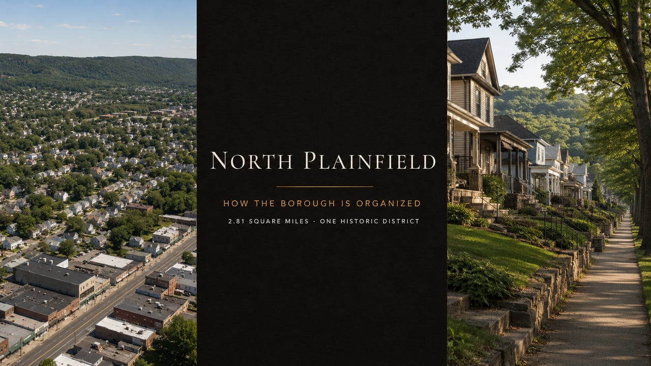
Search "North Plainfield neighborhoods" and you'll get lists that are partly invented and partly borrowed from a different town in a different county. This borough has exactly one formally defined district — and four real organizing lines that no portal shows you. Here's how it's actually laid out.
Most towns this size don't have neighborhoods so much as orientations, and North Plainfield is one of them. At 2.81 square miles it is the densest municipality in Somerset County at roughly 8,125 people per square mile — a compact, fully built-out borough where the meaningful distinctions aren't names but elevation, the two brooks, Route 22, and which zone district your lot sits in. The one area with a formally drawn boundary is the Washington Park Historic District, and even there two separate designations apply that don't automatically cover the same properties. Meanwhile the neighbourhood lists published by major portals for this borough include at least one district that is physically located in a different municipality in a different county. If you are trying to understand where to buy here, the portal taxonomy will actively mislead you. What follows is built from the Borough's own zoning and district maps and the certified parcel record.
I went looking for North Plainfield's neighbourhood boundaries the way a buyer would, and then the way a researcher would, and the two exercises produced completely different answers. That gap is itself the most useful thing I can tell you about this town — so rather than repeat names I can't stand behind, this guide sets out what the Borough's own documents actually establish, and is explicit about what remains unverified. For the wider picture, start with our North Plainfield relocation guide.
Here is the clearest example. A major national portal has listed the Van Wyck Brooks Historic District among North Plainfield's neighbourhoods. Van Wyck Brooks is a historic district in the City of Plainfield, Union County — a different municipality, in a different county, with different taxes and a different school district. The same portals have served Regency Village and Stony Hill under Plainfield rather than North Plainfield. Listings and place names cross that boundary in both directions.
The cause is the same one behind every other data problem in this market: two municipalities sharing a name and a ZIP code footprint, which we work through in North Plainfield vs Plainfield. Automated neighbourhood taxonomies inherit the confusion and then present it with total confidence.
There's a second problem underneath the first. Names circulating for this borough — Glenside Park, Branch Brook Estates, Windsor Terrace, Netherwood Estates, Rockview, Hydewood, Greenbrook Park, Washington Square, West End Terrace — mostly read like recorded subdivision names rather than neighbourhoods anyone uses in conversation. A subdivision name is a real legal artifact; it lives on a plat filed with the County Clerk. That is not the same as a neighbourhood with understood edges and a local identity. Several of these may be both. Several are probably neither. I'm not going to tell you which until the plats say so, because a confidently wrong map of a town is worse than no map at all.
One — elevation. The borough climbs north toward the Watchung ridge and falls south toward the brooks. That single gradient drives flood exposure, drainage, basement condition, and how a street feels to walk. In a town of 2.81 square miles, two houses a few blocks apart can sit at meaningfully different elevations with meaningfully different insurance costs. If you take one thing from this guide, take that.
Two — the two brooks. The Green Brook forms the southern boundary, separating the borough from Green Brook Township and the City of Plainfield. The Stony Brook runs through the borough and forms a natural edge of the historic district. Both are named in the federal flood risk management project covering this basin, which our flood risk guide covers in detail. Where you sit relative to them is a pricing fact, not a preference.
Three — Route 22. The highway runs east–west through the lower borough and carries essentially all of the commercial development. It is the borough's front door and its loudest feature, and proximity to it is the single most reliable predictor of how a residential street feels. Crossing it at rush hour is also slower than any map suggests, which matters enormously for whether Netherwood or Plainfield station is realistically your station.
Four — the zone district. The Borough's zoning map divides residential land into districts R-1 through R-9, with minimum lot sizes ranging from compact to a full acre. That gradient is the closest thing North Plainfield has to an official neighbourhood map, because it determines what can be built and therefore what surrounds you.
Minimum lot sizes per the legend of the Borough of North Plainfield Zoning Map, dated January 2012, prepared by Grotto Engineering Associates LLC at a scale of 1 inch = 600 feet. The map establishes residence zones R-1 through R-9 plus business zones; only the R-6, R-7, and R-8 minimums are legible in the published legend, and the R-8 figure is converted from the stated one acre. An R-8 lot is more than four times an R-6 lot. The map is over a decade old — confirm the current zone and requirements for any specific address with the Borough Zoning Officer before relying on this.
The Washington Park Historic District is the exception to everything above. Its boundary is a matter of federal record — roughly 100 acres holding 145 contributing buildings from 1868 to 1917, listed on the National Register in April 1987, running approximately between Green Brook Road, Grove Avenue, East Front Street, and Geraud Avenue. Our full guide to the district covers what it is and what buying there involves.
The Borough publishes its own map of the district, and the legend is more informative than the map. It distinguishes "National Register Listed" from "Locally Designated" as two separate property categories — confirming that federal listing and local historic regulation are distinct layers that don't automatically cover the same properties. The legend also includes an entry for "Other Historic Districts," which suggests Washington Park may not be the only one.
The local layer has real machinery behind it. The Borough maintains a Historic Preservation Commission — seven regular members plus two alternates, established under N.P.R.G.O. 22-122.5, meeting monthly. The land development chapter provides for referral of development applications involving historic landmarks or districts, with published review standards and criteria. There is also a separate Architectural Design Review Board. Two review bodies is unusual for a borough this size, and anyone planning exterior work should establish early which one, if either, has jurisdiction over their address.
What I cannot tell you from published maps is which specific properties carry local designation, or whether the locally regulated boundary matches the National Register boundary exactly. The Borough's map draws them as different things; only the Commission can tell you where your address falls. That is a ten-minute question to [email protected] and it should be asked before an offer, not after.
In a borough of 2.81 square miles with 4,952 residential parcels, the search unit that works is the street, and often the block. Filtering by a neighbourhood name here will either return nothing or return properties in another county. Filter by municipality, then evaluate address by address.
For each address, establish five things. Which zone district it sits in, from the Zoning Officer. Whether it falls inside the historic district and whether local designation applies, from the Commission. Its flood zone, from the NJDEP lookup and FEMA. Its realistic walk or drive to Netherwood or Plainfield station at the hour you'd travel. And its current assessment, which in a borough with the county's lowest equalization ratio tells you something quite different from its asking price — see our assessment guide for why that matters.
Named developments are a different case. Where a property sits in an actual condominium or homeowners' association — Regency Village being the most consistently referenced in this borough — the name is a real legal entity with a master deed, bylaws, fees, and rules. That is genuinely worth searching by. The distinction to hold onto: an association is a legal fact; a "neighbourhood" here is frequently a portal's guess.
Federal boundary, ~100 acres, 145 contributing buildings, 1868–1917. Mapped by the Borough. The one area you can point to with confidence.
Legally defined and mapped, though the published map dates to 2012. The closest thing to an official geography of the borough.
The Watchung ridge, the Green Brook and Stony Brook, and Route 22. Not administrative boundaries, but the things that actually shape daily life here.
Glenside Park, Branch Brook Estates, Windsor Terrace, Netherwood Estates, Rockview, Hydewood, Greenbrook Park, Washington Square, West End Terrace. Likely subdivision names; boundaries unconfirmed.
Served by at least one major portal as a North Plainfield neighbourhood. It is in the City of Plainfield, Union County. Different town, different county.
This guide states what published Borough and federal records establish and is explicit about what they do not. Confirm zone, historic status, and flood zone for any specific address with the Borough before relying on anything here.
Get the Borough's own maps rather than relying on any portal. All six are published free: zoning, tax map, street map, the Washington Park Historic District, voting districts, and the collection map. They're at northplainfieldnj.gov under Government → Documents → Maps. Twenty minutes with the zoning map and the street map will teach you more about how this borough is put together than a month of scrolling listings — and unlike a portal's neighbourhood taxonomy, they're the documents the Borough actually uses.
"I could have written you a list of nine neighbourhoods with confident little descriptions of each. Every other site does. The problem is I'd be making most of it up, and someone would buy on the strength of it. This town is small enough that you don't need a neighbourhood map — you need to know whether you're above or below Route 22, how far you are from the brook, and which zone you're in. Those three answers are real, and they're all free."
— Anthony Licciardello, Broker, The Prodigy Team
In a borough this compact, the work is street-level — which zone, which side of the highway, how far from the brook. I'm Anthony Licciardello, Broker of The Prodigy Team, dual-licensed in New York and New Jersey, a member of the Staten Island Growth Management Task Force, and a former Director of Community Affairs in the Bloomberg Administration. We read the Borough's own maps rather than a portal's guess.
Our Above the Streets cinematic drone series extends that reach — aerial storytelling that shows a town's real geography, not just its listings.
Anthony Licciardello · Broker, The Prodigy Team · 718-873-7345
If the portals can't even agree which county your neighbourhood is in, your listing is fighting bad data before a buyer ever sees it. We market by municipality, street, and what's actually around the property — to New York buyers who don't yet know this borough exists.
What are the neighborhoods in North Plainfield, NJ?
The borough has one formally defined district — the Washington Park Historic District, whose boundary is federal record. Beyond that, North Plainfield is a compact 2.81-square-mile municipality organized more by physical features and zoning than by named neighbourhoods: the Watchung ridge to the north, the Green Brook and Stony Brook to the south, the Route 22 corridor through the middle, and residence zone districts R-1 through R-9. Several subdivision-style names circulate online but their boundaries are unverified, and at least one name commonly attached to the borough belongs to a district in a different county.
Is the Van Wyck Brooks Historic District in North Plainfield?
No. Van Wyck Brooks is a historic district in the City of Plainfield, Union County — a separate municipality in a separate county. At least one major listing portal has served it among North Plainfield's neighbourhoods. The same portals have served Regency Village and Stony Hill under Plainfield rather than North Plainfield. Names and listings cross the boundary in both directions, so confirm the municipality and county for any property before relying on a neighbourhood label.
What are the zoning districts in North Plainfield?
The Borough's zoning map establishes residence zones R-1 through R-9 plus business zones. Minimum lot sizes visible in the published legend include 10,000 square feet in R-6, 25,000 square feet in R-7, and one acre in R-8 — so an R-8 lot is more than four times an R-6 lot. The published map is dated January 2012, so confirm the current zone and requirements for any specific address with the Borough Zoning Officer.
How big is North Plainfield and how densely built is it?
About 2.81 square miles of land with a 2020 population of 22,808, giving roughly 8,125 people per square mile — the highest density of any of Somerset County's twenty-one municipalities. The certified tax roll carries 4,952 residential parcels and only 78 vacant or industrial parcels, which is the clearest single indicator that the borough is fully built out.
Where can I find North Plainfield's official maps?
The Borough publishes six maps free on its website under Government, then Documents, then Maps: the zoning map, the tax map, the street map, the Washington Park Historic District map, voting districts, and the collection map. These are the documents the Borough itself uses and they are considerably more reliable than any commercial neighbourhood taxonomy for this town.
Moving to North Plainfield — The Complete Relocation Guide
The Washington Park Historic District — North Plainfield's Victorian Core
Flood Risk in North Plainfield — The Brooks and the Federal Project
The North Plainfield Real Estate Market
North Plainfield Borough Homes for Sale
Zone districts and minimum lot sizes per the legend of the Borough of North Plainfield Zoning Map, dated January 2012, prepared by Grotto Engineering Associates LLC, scale 1 inch = 600 feet, establishing residence zones R-1 through R-9 and business zones; only R-6 (10,000 square feet), R-7 (25,000 square feet), and R-8 (one acre, converted here to 43,560 square feet) are legible in the published legend. Washington Park Historic District details per its National Register of Historic Places listing, reference number 87000603, added April 9, 1987, approximately 100 acres containing 145 contributing buildings constructed 1868–1917. The Borough's published district map, titled "Historic Properties in the Washington Park Historic District," distinguishes "National Register Listed" from "Locally Designated" properties as separate legend categories and includes a category for "Other Historic Districts." Historic Preservation Commission established under N.P.R.G.O. 22-122.5 with seven regular members and two alternates; the Borough's land development chapter provides for referral of development applications involving historic landmarks or historic districts and sets out application review standards and criteria. The Borough separately maintains an Architectural Design Review Board. Land area of 2.81 square miles and 2020 population of 22,808 per the United States Census Bureau; density calculated therefrom. Parcel counts per the certified 2025 Somerset County Abstract of Ratables. Observations regarding commercial neighbourhood taxonomies reflect listings and neighbourhood lists published by major real estate portals as reviewed at the time of writing and may change. Section and subdivision names identified in this guide as unverified are reported as circulating in commercial sources; no representation is made as to their boundaries, current usage, or legal status. Zoning, historic designation, and municipal boundaries change. This is general information, not legal, planning, or surveying advice — confirm zone district, historic designation status, and flood zone for any specific address with the Borough of North Plainfield Zoning Officer, the Historic Preservation Commission, and a licensed New Jersey professional before relying on any of it.
Prodigy Real Estate is an innovative real estate company offering high-end video production, home valuation services, purchasing, and home sales. Serving New York and New Jersey.