
Anthony Licciardello | April 19, 2026
Red Bank, NJ
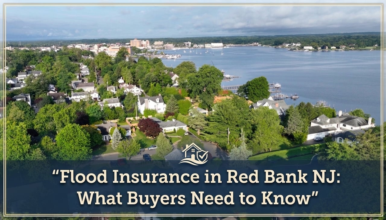
Red Bank sits on a tight 1.75-square-mile footprint flanked by two waterways — the Navesink River to the north and the Swimming River to the east. That geography is most of why people want to live here. It is also why flood exposure is a real conversation for buyers evaluating properties near either shoreline.
But Red Bank's flood risk is not uniform. A riverfront property near Marine Park carries a fundamentally different risk profile than a home on higher ground in the southwestern residential sections. The borough participates in the National Flood Insurance Program, maintains an active floodplain ordinance, and has documented flood impacts from both Hurricane Irene and Superstorm Sandy. That history matters. So does knowing exactly where any property you're considering falls on the map before you make an offer.
This guide covers how FEMA flood zones work in Red Bank, what flood insurance actually costs, and the due diligence steps that protect you. For broader context on what the Red Bank market looks like right now, see our current Red Bank market update.
Flood Zone Basics
FEMA publishes Flood Insurance Rate Maps for every municipality in the country. Those maps assign each parcel a flood zone designation that determines risk level and insurance requirements. In Red Bank, the zones buyers are most likely to encounter are Zone AE and Zone X.
The zone designation tells you the statistical risk. It does not tell you the full story. Properties on the boundary between zones, or in areas with drainage issues or low-lying topography, can flood during events that never technically breach the AE threshold. And FEMA maps are updated periodically — a Zone X designation today does not guarantee that designation forever.
Never rely on a seller's description of flood risk or an automated portal estimate. Look up every address you're seriously considering at the FEMA Flood Map Service Center (msc.fema.gov) using the exact property address. It takes two minutes and it's the only authoritative source.
Red Bank's Flood History
Superstorm Sandy in 2012 produced storm surge flooding along the immediate shoreline of the Navesink River and the Swimming River. The marina area was heavily impacted. The Red Bank Primary School, located on the banks of the Swimming River, took flooding to the first floor and required students to temporarily relocate during repairs. Several residential properties and commercial buildings in the flood zone sustained damage.
The borough has since implemented mitigation measures at key sites — including flood panels at riverfront properties and infrastructure upgrades — and participates in FEMA's hazard mitigation planning process. That doesn't mean the risk is gone. It means the borough takes it seriously, and buyers should too.
The takeaway for buyers is not that Red Bank is too risky — it's that proximity to either river is a variable that needs to be priced and planned for explicitly, not assumed away. Homes a few blocks from the waterfront often carry no flood zone designation at all.
Insurance Costs
FEMA's National Flood Insurance Program is the primary source of flood coverage for most homeowners in Red Bank. The average NFIP premium for Zone AE properties in New Jersey runs approximately $1,094 per year. But that figure is a starting point, not a quote. Under FEMA's Risk Rating 2.0 — the current pricing methodology — your actual premium is calculated property by property based on a specific set of variables.
| Factor | How It Affects Your Premium |
|---|---|
| Elevation vs. BFE | Most important variable. Homes above Base Flood Elevation pay significantly less. Homes below it pay significantly more. |
| Foundation type | Slab, crawlspace, basement, and pier foundations are rated differently. Basements increase exposure and cost. |
| Construction date | Homes built after FEMA map adoption to current code generally qualify for lower rates than older pre-FIRM structures. |
| Distance to water | Proximity to the Navesink or Swimming River affects both zone designation and premium calculation. |
| Coverage amount | NFIP covers the dwelling up to $250,000 and contents up to $100,000. Higher-value properties may need supplemental private coverage. |
For properties in Zone X, flood insurance is not federally mandated but premiums are typically much lower — often under $500 per year — because risk is statistically lower. Whether that cost is worth carrying is a judgment call, but given New Jersey's documented flood loss history, many lenders and financial advisors recommend coverage regardless of zone designation.
Elevation Certificates
An elevation certificate is a survey document that records a property's finished floor elevation relative to the Base Flood Elevation on the FEMA map. In Red Bank, any property in or near a Special Flood Hazard Area should have one on file. It is the single most important document for getting an accurate flood insurance quote — and for understanding whether you're buying into a liability or a manageable cost.
If a property sits two feet above the BFE, insurance is affordable. If it sits two feet below, the premium can be substantial — sometimes several thousand dollars per year. Always request a copy of any existing elevation certificate during the due diligence period. If none exists, budget to commission a new survey from a licensed land surveyor before closing. That cost is typically a few hundred dollars and it will give you the information you need to make a real decision.
If you're using a federally backed mortgage on a Zone AE property, your lender will require proof of flood insurance before closing. Get the elevation certificate and a flood insurance quote early in the process — not the week before settlement. Delays here are common and avoidable.
Due Diligence Checklist
Flood due diligence in Red Bank comes down to five concrete steps. These apply to any property near either river — and are advisable even for properties in Zone X given the borough's proximity to two tidal waterways.
These steps add a day or two to your due diligence process. They can save you from buying a property with carrying costs you didn't budget for — or from walking away from a property that would have been perfectly fine. Red Bank's development activity is also worth watching in this context. The 212-unit Saxum project under construction at 176 Riverside Avenue and the Denholtz train station redevelopment are both adding density near the waterfront corridor. How new construction affects drainage and stormwater management in that area is a reasonable question to track. For a full picture of what's being built and what it means for the borough, see our Red Bank development roundup.
Flood zone designations: FEMA Flood Insurance Rate Maps via msc.fema.gov. NFIP premium averages: FludZone NJ statewide analysis. Red Bank flood history: Monmouth County Hazard Mitigation Plan, Red Bank Borough appendix. Risk Rating 2.0 premium factors: FEMA official guidance.
Common Questions
Do you need flood insurance to buy a home in Red Bank NJ?
It depends on the specific property. Homes in FEMA Zone AE — concentrated along the Navesink River and Swimming River corridors — require flood insurance if you're using a federally backed mortgage. Properties in Zone X carry no federal mandate, though coverage is often still advisable. Always check the FEMA Flood Map Service Center for the exact address you're considering.
Which parts of Red Bank NJ are in a flood zone?
The highest-risk areas follow both river shorelines — the Navesink to the north and the Swimming River to the east — and include the marina area. Properties on higher ground in the southern and western sections of the borough generally fall outside the Special Flood Hazard Area. Risk varies significantly street by street; look up every address individually.
How much does flood insurance cost in Red Bank NJ?
The NJ statewide NFIP average for Zone AE runs approximately $1,094 per year, but your actual premium is property-specific under FEMA's Risk Rating 2.0. Elevation relative to the Base Flood Elevation is the biggest driver — homes well above it pay far less than homes built below it. Get a real quote using an elevation certificate before you close.
What is an elevation certificate and do I need one in Red Bank NJ?
An elevation certificate is a licensed surveyor's document recording your property's finished floor elevation relative to the Base Flood Elevation. It directly determines your flood insurance premium. For any Red Bank property in or near a Special Flood Hazard Area, request a copy from the seller during due diligence. If none exists, commission one before closing — it typically costs a few hundred dollars and is worth every cent.
Questions about buying in Red Bank? Contact Anthony Licciardello at Prodigy: (718) 873-7345.
Prodigy Real Estate is an innovative real estate company offering high-end video production, home valuation services, purchasing, and home sales. Serving New York and New Jersey.